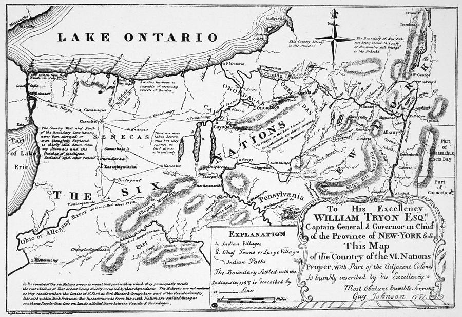
Six Nations Map 1771

by Guy Johnson
Title
Six Nations Map 1771
Artist
Guy Johnson
Medium
Drawing - Map Illustration
Description
SIX NATIONS: MAP, 1771.
Map of the country of the Six Nations, created by Guy Johnson for the Province of New York, 1771.
To license a high-resolution digital image, please visit www.granger.com.
Uploaded
August 22nd, 2011
Statistics
Viewed 4,419 Times - Last Visitor from Fairfield, CT on 04/19/2024 at 1:44 PM
Embed
Share
Sales Sheet


