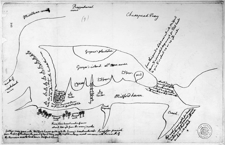
Chesapeake Bay, 1776

by Granger
Title
Chesapeake Bay, 1776
Artist
Granger
Medium
Drawing - Map Illustration
Description
CHESAPEAKE BAY, 1776.
Map drawn by Thomas Jefferson of Milford Haven on Chesapeake Bay and vicinity, showing camp on Gwynn's Island and enemy fortifications, June or July 1776.
To license a high-resolution digital image, please visit www.granger.com.
Uploaded
December 3rd, 2014
Embed
Share


